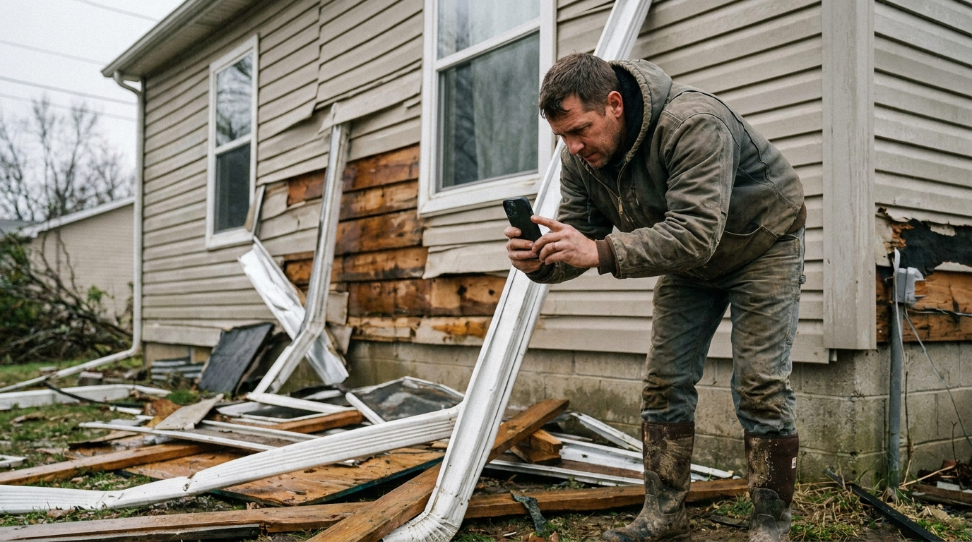
After a storm, the difference between a fast approval and a kicked-back claim usually isn't the damage itself. It's how clearly you documented it. A folder of 200 loose photos forces an adjuster to guess what they're looking at. A structured, pinned report shows exactly where each hit is, on which elevation, with the close-up to back it up.
Here's a workflow you can run on every property.
Start wide, then go close
Every elevation needs an overview shot before you zoom in. The wide photo gives the location context; the close-up proves the damage. If you only capture close-ups, nobody can tell where on the wall or slope that crease actually sits.
- One clean overview per elevation (front, sides, rear, and each roof slope)
- A close-up for every individual area of damage
- A reference object (chalk, a coin, a square) when scale matters
Pin the exact spot
This is where most documentation falls apart. Instead of describing "hail hits on the north slope," drop a pin on the precise spot in the overview photo and attach the close-up to that pin. Now the evidence is anchored to a location, not floating in a camera roll.
Pinning each hit also forces a complete sweep, you naturally work across the elevation instead of grabbing a few dramatic shots and moving on.
Label so it maps to the estimate
Label pins consistently so your documentation lines up with how the claim gets written. Roof slopes (N.1, S.1) and walls (F.1, R.1) should match the line items you bill against, so there's no translation step between the photos and the estimate. For more on aligning labels with line items, see When Pin Labels Map to Xactimate.
Build the report before you leave the driveway
The best time to finish documentation is while you're still standing in front of the house. Generate the report on site so you can confirm every elevation is covered and nothing is blurry or missing, before you've packed up and driven away.
A complete report has a cover page, a damage summary, per-elevation pin maps, and a grid of close-ups tied to each pin. An adjuster can review it without a second site visit, which is exactly what gets claims moving.
A repeatable checklist
- Overview photo of every elevation and slope
- A pin on every distinct area of damage
- A close-up attached to each pin
- Consistent labels that map to your estimate
- A generated report reviewed on site
Run the same sequence on every property and your documentation stops being the weak link. See how this comes together for storm work in Elevations for Storm Restoration.